It amazes me how time flies. If you are a boater, own a car, or carry a smartphone, it is hard to remember the days before superbly accurate GPS information so useful in our daily lives. On our chart plotters, iPhones, auto navigation systems, Garmin’s Nuvi line of portable navigators, and the explosion of Internet of Things (IoT). Everywhere.

Back in the 1980s, civilians were finally allowed access to our nation’s GPS system, launched and maintained by and for our military. However, the signals from the satellite system were intentionally degraded so the bad guys could not use our system against us, such as to send missiles down the smokestacks of our country’s manufacturing resources (or so I remember the argument). This degrading process was called Selective Availability (SA). Because of SA, accuracy from a GPS signal for civilian use was on the order of 100 meters, not very helpful coming into a channel at night or in poor visibility.
Remember those days?
Courtesy of Furuno USA
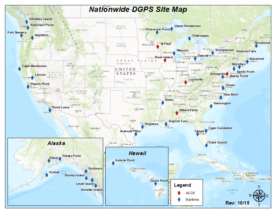
While the USCG and FAA lobbied unsuccessfully to rescind SA, maritime and aviation interests needed a solution. So, to get more accurate location information closer to land during the era of SA, the USCG developed an augmentation system to use land-based stations that sent short range, improved position information to help those of us who needed something more accurate than 100 meters. These Differential GPS (DGPS) stations were set up near major cities, waterways, and harbors. The FAA developed another version of this correction augmentation, called WAAS.
SA was eventually discontinued in 2000 by executive order, and therefore DGPS was no longer necessary. With continued advances in GPS and related technologies, current generation GPS receivers have much greater accuracy, on the order of under 30 centimeters, or just under one foot.
So rather than maintaining the obsolete DGPS system, the USCG is removing all remaining 38 DGPS station over the next couple of years, with mission complete date set for September, 2020.

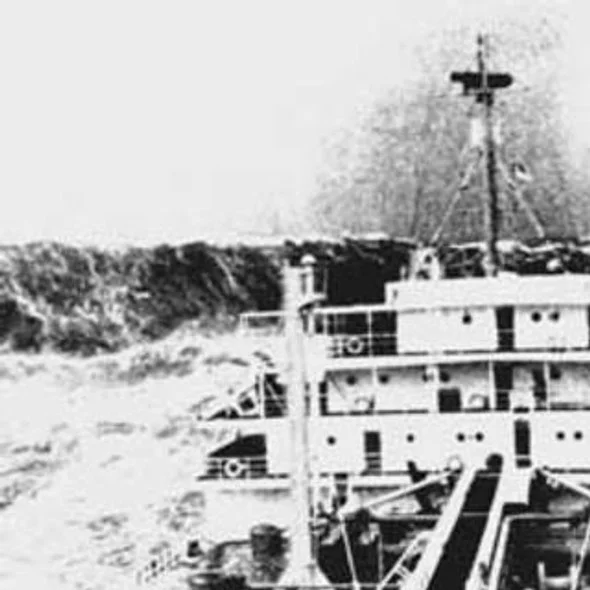
LORAN Station on Nantucket.
Having lived through this evolution of satellite navigation, and the previous LORAN technology we used to race to Bermuda in the 1980s, it is amazing how far we have come. The location services from a smartphone are even more accurate than the charts we use on the water. The portable devices we take for granted form an integral part of our daily lives. Who recalls life before Google Earth and Maps???
What an amazing time we have lived through, and just imagine the future... Have a great week.